

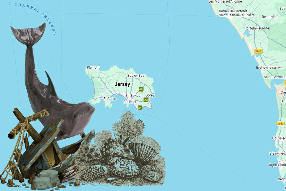
A new digital atlas for Jersey makes it easier to see shipwreck locations, marine habitats and records of dolphin activity.
An interactive map has been created of Jersey's Marine Spatial Park.
The tool has been developed by government to help people understand the 90% of Jersey hidden below the tide line.
It includes the new marine protected areas where dredging and trawling will be banned in two stages, starting this September.
The maps and charts can be seen at Jersey Marine Spatial Plan
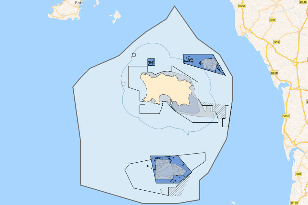
Layers include known shipwreck locations and their date of sinking, a dolphin index showing activity collated from hydrophones that are stationed around Jersey, and a base map that shows the extent of Jersey’s territorial waters.
The atlas was created between I&E's Marine Resources team and Geospatial team to bring the map layers together in a way that is accessible for public viewing.
 Unbeaten Bulls women three more wins away from promotion
 Passenger numbers already up ahead of seasonal services resuming
 Jersey mixologist to head to cocktail World Championships
 ATF to no longer offer biofuel after change in supplier
 New images shared of updated Fort Regent plans
 General Election to impact Jersey's Liberation Day events
 Family Nursing and Home Care launches remote health monitoring
 Hottest day of the year so far across the Channel Islands