

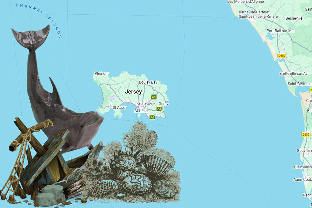
A new digital atlas for Jersey makes it easier to see shipwreck locations, marine habitats and records of dolphin activity.
An interactive map has been created of Jersey's Marine Spatial Park.
The tool has been developed by government to help people understand the 90% of Jersey hidden below the tide line.
It includes the new marine protected areas where dredging and trawling will be banned in two stages, starting this September.
The maps and charts can be seen at Jersey Marine Spatial Plan
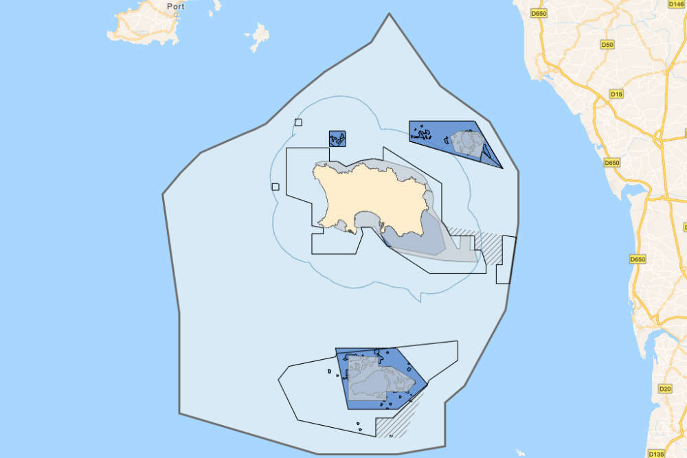
Layers include known shipwreck locations and their date of sinking, a dolphin index showing activity collated from hydrophones that are stationed around Jersey, and a base map that shows the extent of Jersey’s territorial waters.
The atlas was created between I&E's Marine Resources team and Geospatial team to bring the map layers together in a way that is accessible for public viewing.
 Two dads running 50km to get young stars to Dance World Cup final
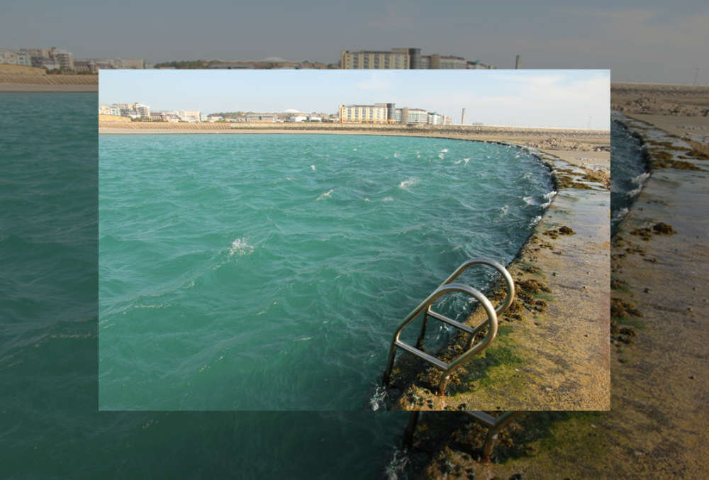 Jersey told to avoid Victoria Marine Lake after child pulled through seawall
 Jersey pubs can stay open later for England vs Mexico
 "Slap it on!" Campaign urges sun-safety in Jersey
 Campervan convoy for Jersey teen's prom
 Ex-England netballer given sports remit as Assistant Ministers are named
 Jersey residents' data to be shared with credit check agencies
 Jersey launches world-first heart failure treatment trial