
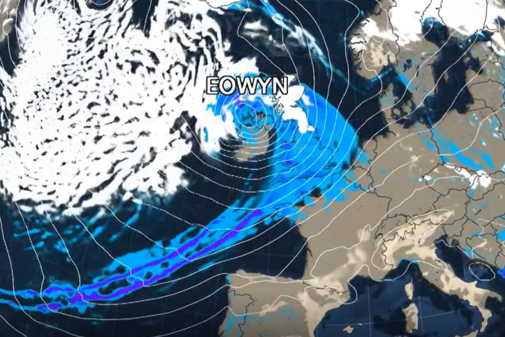
As the UK braces itself for Storm Eowyn, forecasters here say the Channel Islands will escape the worst of the bad weather.
Red and amber weather warnings have been issued in parts of England, Scotland and Ireland, as the UK Met Office warns there could be a 'danger to life' due to flying debris.
Southerly winds of 80-90mph are expected, with potential impacts including fallen trees, power outages, dangerous waves, structural damage and travel disruption.
Here in the Channel Islands, winds are forecast to increase late Thursday and into Friday morning to strong force 7 or gale force 8, with gusts of 55-60 mph.
Senior Forecaster Matt Winter tells us what we should expect:
"The storm itself is of a similar sort of scale and intensity as Storm Ciarán was, but the saving grace for the Channel Islands is that this storm is a fair bit further north, effecting south west parts of Ireland and west to northwest parts of England, Wales and Scotland.
"That's not to say we won't see some strong winds. Overnight Thursday and during the early part of Friday, we are expecting south to south west gales to be affecting the Channel Islands area with gusts of 50 - 60 mph first thing in the morning on Friday. But then the winds do ease quite steadily.
"The strongest winds are expected to be first thing on Friday morning for the Channel Islands area. That might result in some branches down and the odd tree but in terms of general impacts, it looks a lot less severe than parts of the UK and Ireland."
Further wet and windy weather will be with us at the start of next week as another area of low pressure is set to influence the UK's weather.
 Demolition of Victoria Marine Lake would be considered
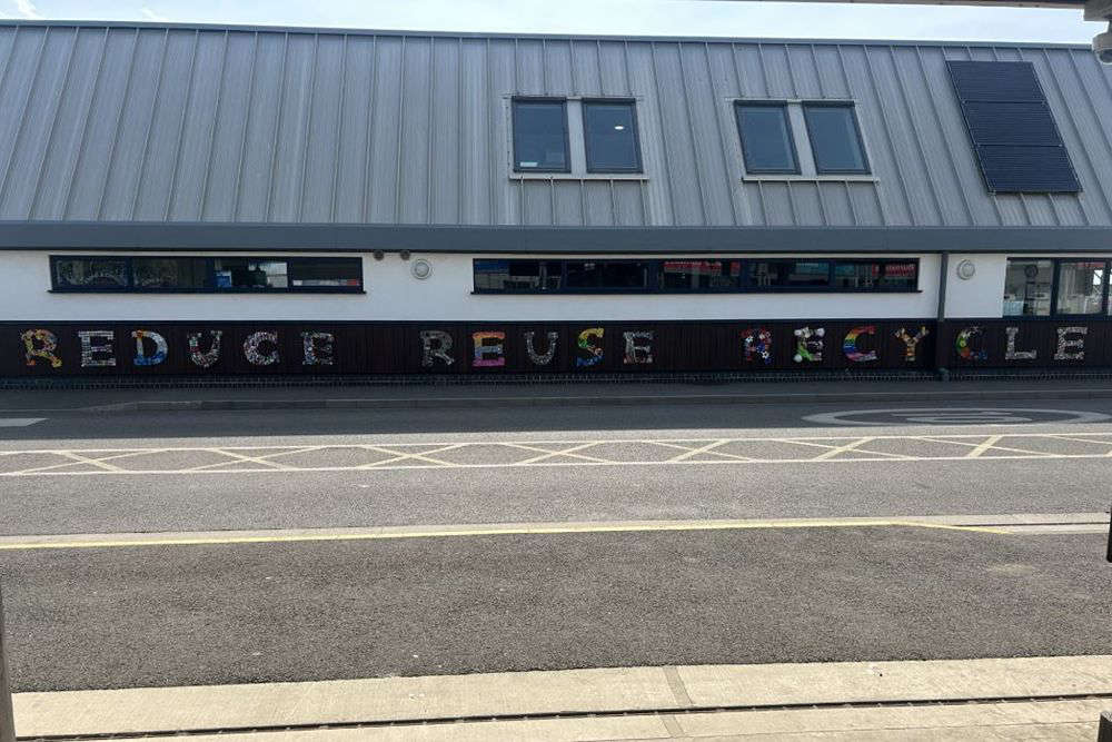 17 schools create new 'Reduce, Reuse, Recycle' artwork
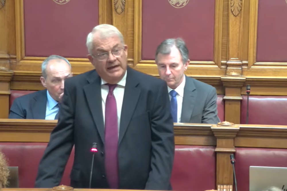 Senator Sir Mark Boleat appointed Planning and Regulation Minister
 Trial begins of man accused of sexual assaults in St Helier
 JSPCA seeks help to build new rural animals' shelter
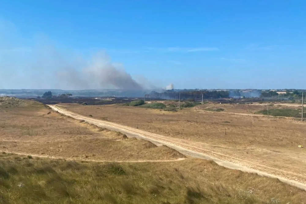
 Call to remain vigilant after spate of wildfires
 Third heatwave ends, but more warm weather still to come
 50 people evacuated from scene of fire in Portbail-sur-Mer